Fort Stanwix

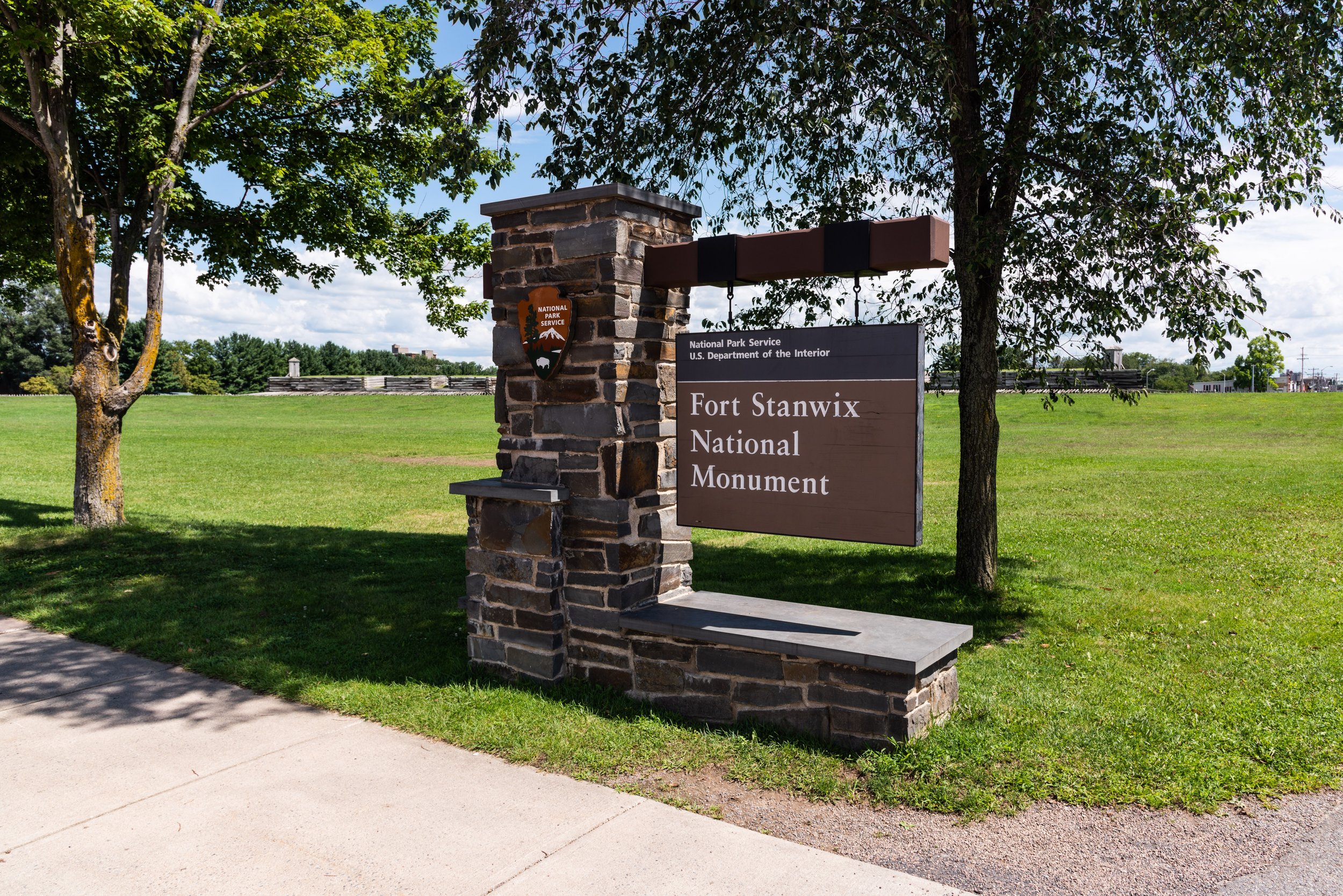
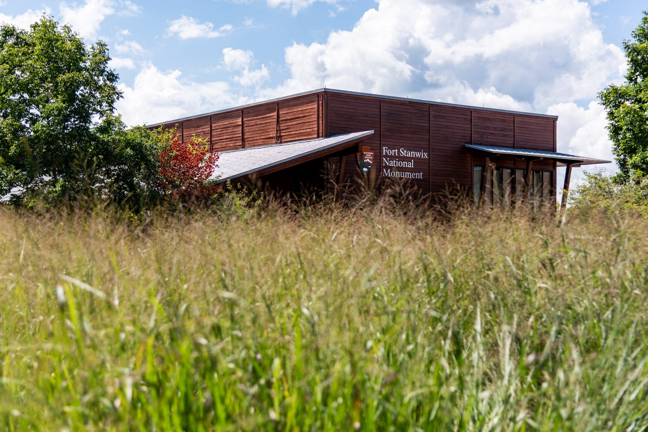
Fort Stanwix National Monument, managed by the National Park Service, is a modern day recreation of the circa 1762 Revolutionary War fort. The reconstruction was completed as part of urban revitalization efforts in 1974 atop the original fort’s location, then the historic downtown section of Rome, NY. It was a unseasonably hot day in early fall when I visited, and there were few people at the fort. I had the opportunity to speak with a ranger about the fort’s construction, and she explained how the city of Rome, NY asked the NPS to come in and reconstruct the fort. Congress authorized the National Monument in 1935, but the real push for its construction came with the Revolutionary War fervor of the bicentennial. The National Parks Service, not in the business of bulldozing historic structures (of which downtown Rome had many examples), politely declined the city’s initial request to bulldoze the site and reconstruct the fort. The city used eminent domain to demolish the dilapidated downtown section anyway, and a 3 year archeological survey of the property commenced before construction began. The fort was opened in 1976 for the bicentennial and construction was wrapped up in 1978.

So why is Fort Stanwix a National Monument? The story begins back in 1777 when Continental forces occupied the fort and repelled the British, earning the nickname of “the fort that never surrendered” after enduring a prolonged siege. The fort was eventually abandoned after the war and razed as the city of Rome expanded with the success of the Eerie Canal. While I was only able to poke my head inside recreated areas of the fort like the barracks and officers quarters due to COVID-19 precautions, I was impressed by the craftsmanship put into the reconstruction. I wonder if there will be another resurgence of interest in the Revolutionary War when the tricentennial rolls around. I’ll be 80 in 2076, so hopefully I’ll still be around to experience it. With so many historic sites from that time period in the tri-state area, I’d be curious to see what other projects might gain traction if there is a resurgence in Revolutionary War interest.
The Holmdel Horn Antenna

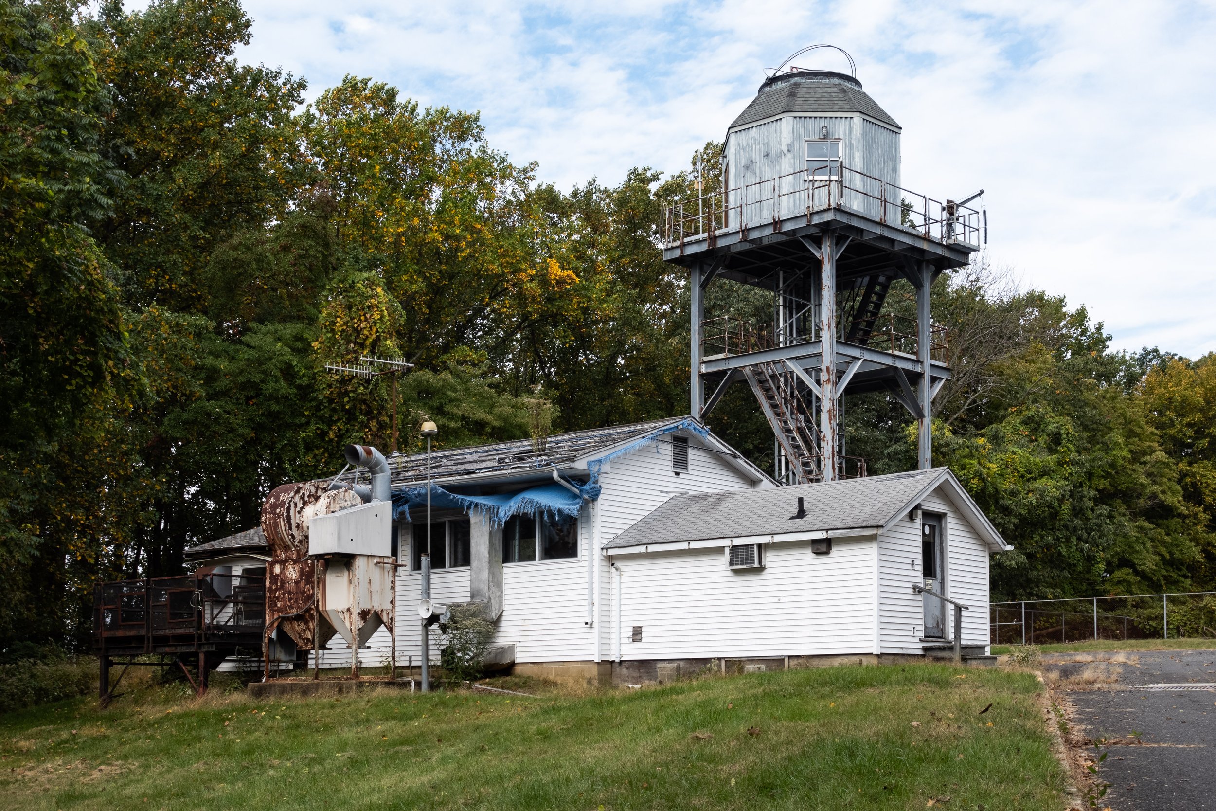
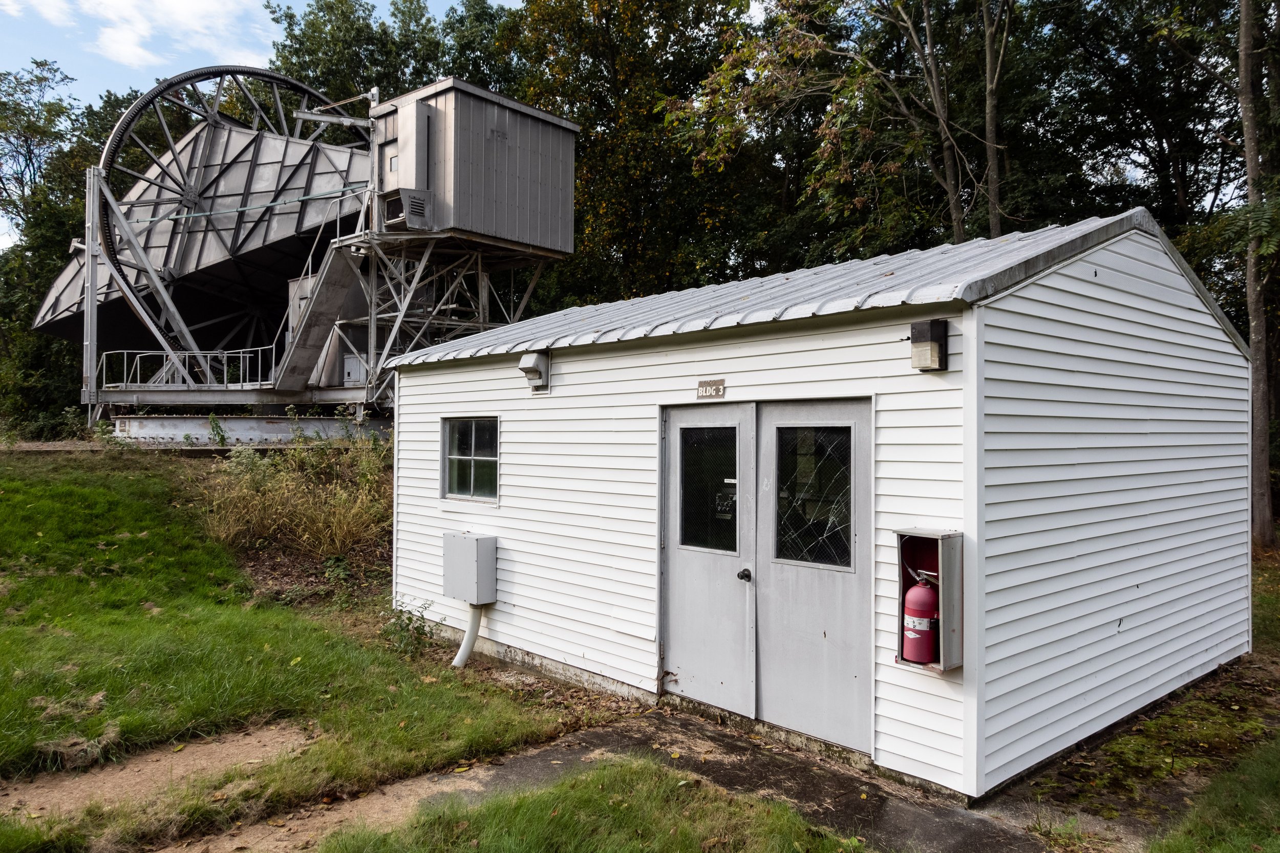
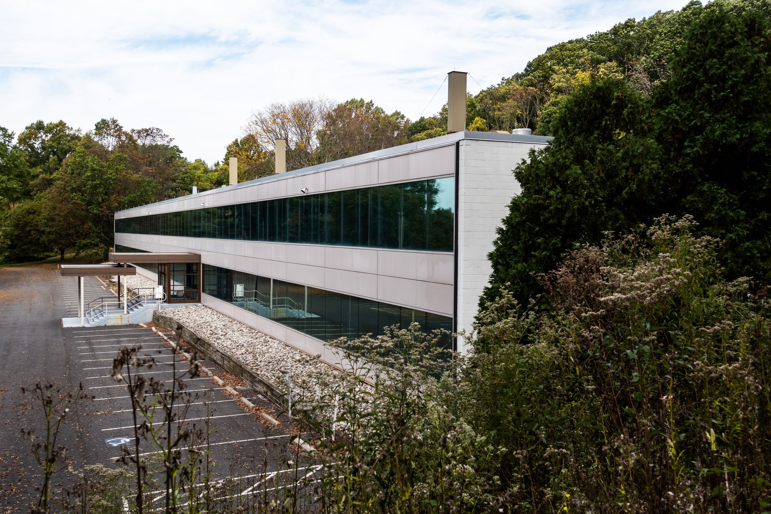
One of the many ways that I research new locations to shoot is by combing through properties listed on the National Register. These properties have a level of historical significance and are often nominated through the hard work of history loving folks like myself. I was sifting through sites listed in Monmouth County, NJ when I saw something odd that immediately caught my attention - a property listed as the “Horn Antenna”. Nestled atop a hill overlooking the Garden State Parkway, the Horn Antenna sits in a mothballed state on the former Bell Telephone Laboratories (Crawford Hill) Facility in Holmdel, NJ. I decided to take a trip this past fall to Holmdel and document what was left of the site.

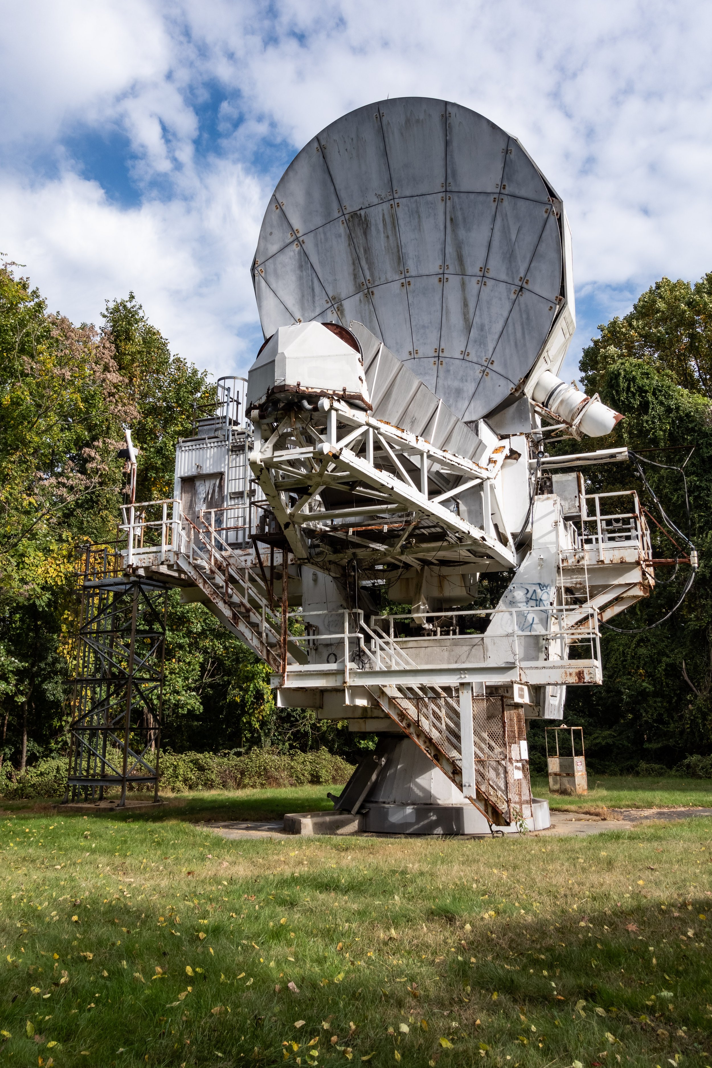
Fabricated mostly on-site by Bell engineers under the direction of Mr. A. B. Crawford, the giant radio telescope was designed by astronomers to detect radio waves bounced off Echo balloon satellites. In 1965, Dr. Arno Penzias and Dr. Robert Wilson were conducting research with the antenna when they stumbled across the residual microwave background radiation that resulted from what we now know as the Big Bang. Publishing their research alongside three astrophysicists from Princeton University, Penzias and Wilson were able to detect the tremendous blast of radiation released by the Big Bang which the astrophysicists had theorized. They were awarded the Nobel Prize for Physics for their joint discovery in 1978.

The Horn Antenna and the Crawford Hill Facility itself were mothballed when research operations were consolidated to the global headquarters of Nokia Bell Labs in Murray Hill, NJ. Crawford Hill was an annex of the larger Bell Labs Holmdel Complex located a short drive away, known today as Bell Works. I’ve also visited this behemoth of an office building, which you can read about in my Bell Works blog post. Researching the history of the antenna gave me the inspiration for some ongoing projects I’m working on around other former American titans of industry like General Electric, Westinghouse, Kodak, Xerox, and more.

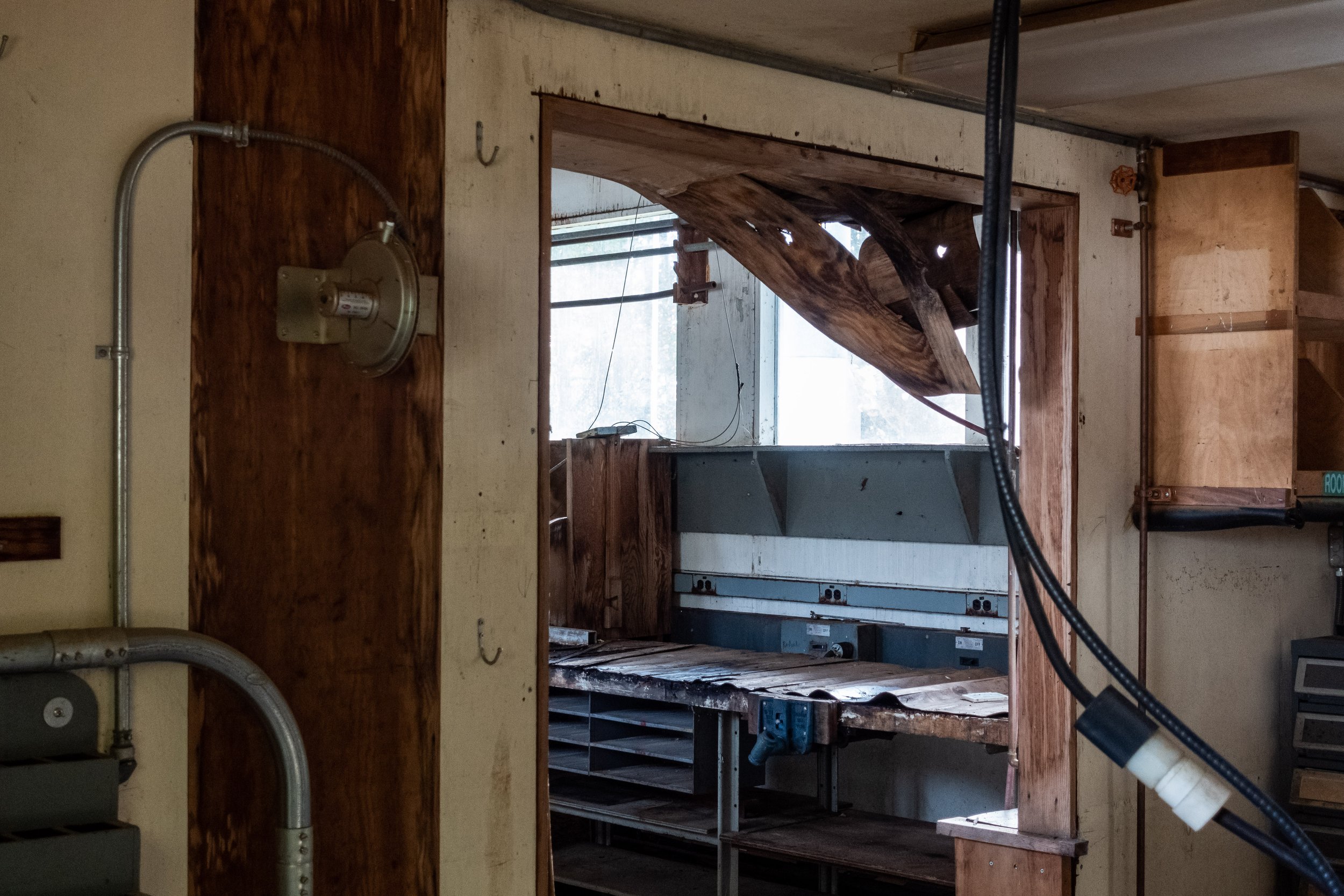
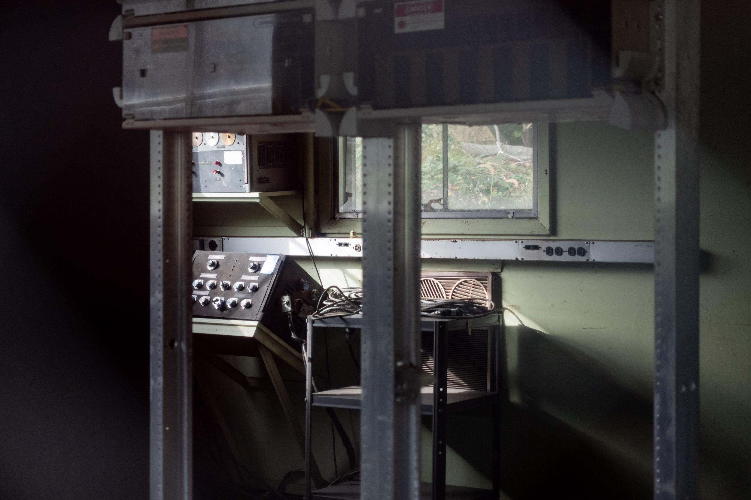
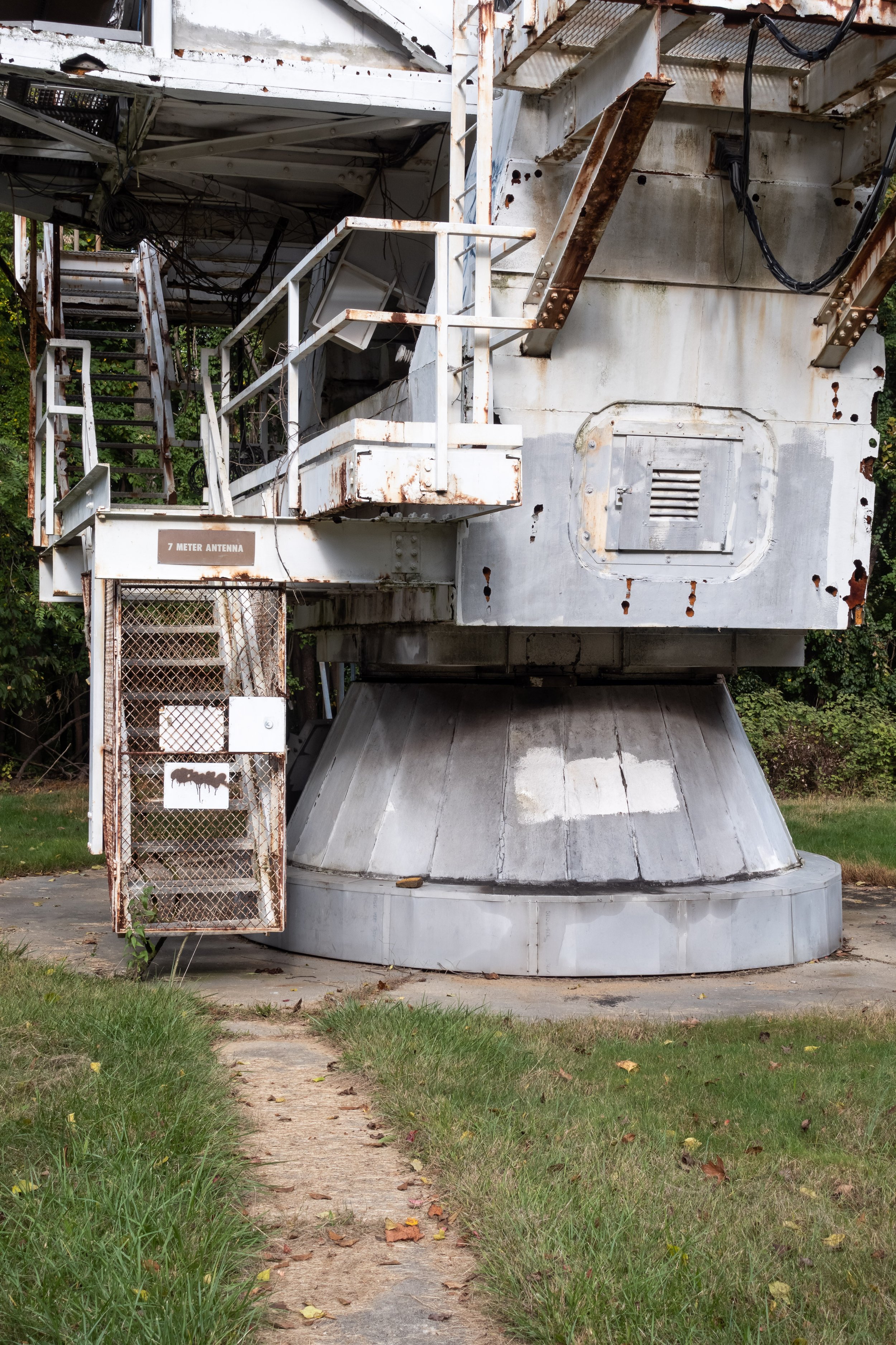
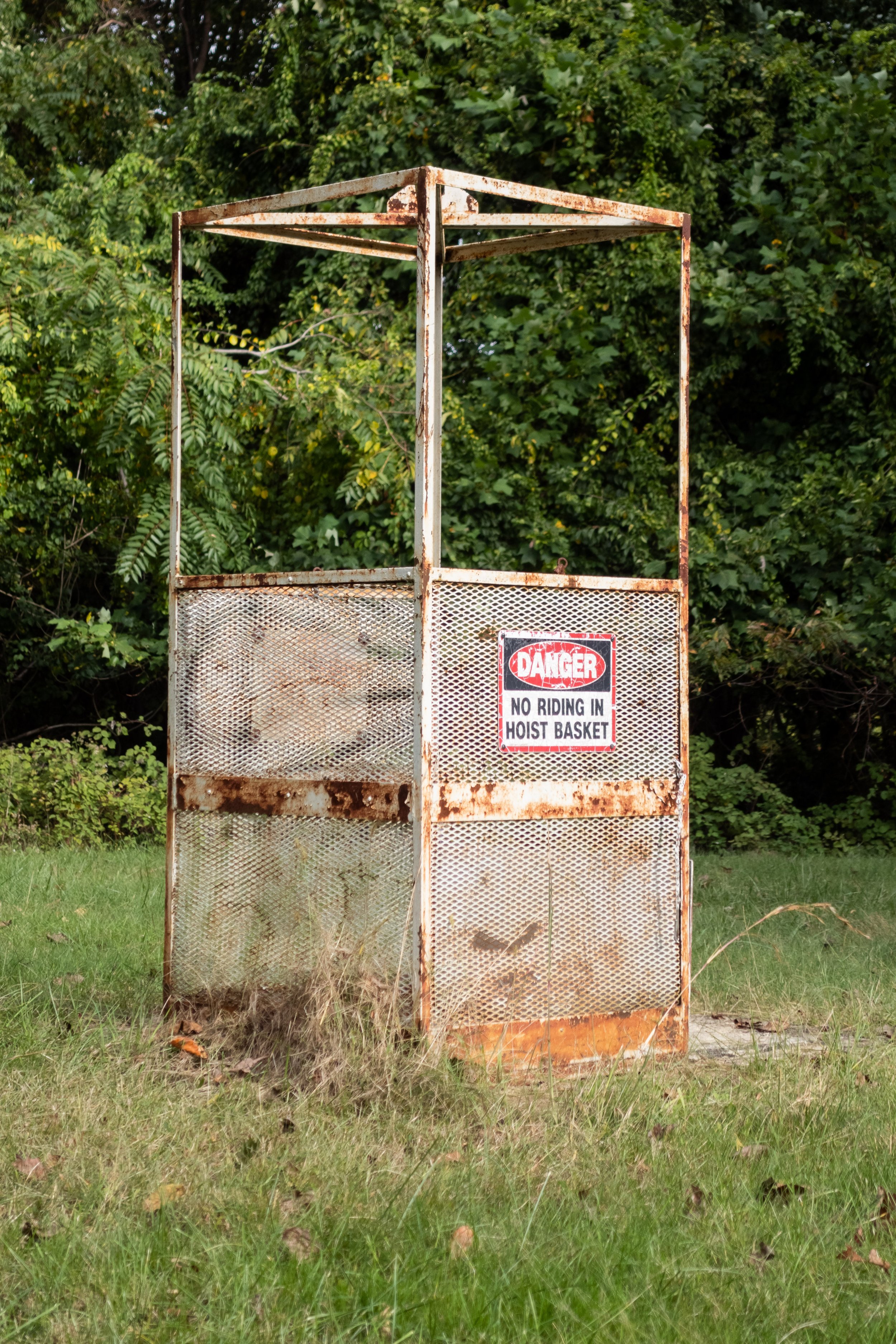
All equipment from inside the antenna and the nearby utility shed which housed the controls has been stripped out. The facility was sold by Nokia Bell Labs in early 2020, and the site’s future remains uncertain. A decaying 7 meter dish antenna, workshops, and towers for communications and radar equipment dot the landscape as reminders of the research once conducted at Crawford Hill. I’m not sure when exactly Nokia Bell Labs abandoned the site, but I did find a laminated sign warning that the locker rooms for the volleyball pits were closed due to COVID-19. This mean that somebody occasionally visited the facilities until 2020 at the latest, but both visits I made in 2021 showed the complex abandoned. The Horn Antenna represents the heyday of communications research and design in America, a victim of the mergers and acquisitions that have whittled away at Bell Labs and shuttered the Crawford Hill Facility. I’m just glad I was able to document things before any significant redevelopment erased what is left of this important piece of scientific history.
Bell Laboratories - Holmdel

I somehow completely overlooked the former research campus of Bell Labs, known today as Bell Works, on my last visit to the Holmdel, NJ area. I was researching another relic of the company for a blog post, the Holmdel Horn Antenna, when I realized this place was a mere 3 miles down the road. After kicking myself for not stopping in when I was so close by, I made a dedicated trip there while home for Thanksgiving.

To understand the history behind the Bell Labs Holmdel Complex, you first need to know a little background on Bell Labs itself. Founded in 1925 by AT&T and Western Electric, a combined 4,000 engineers from the two companies formed Bell Telephone Laboratories to study communications technology. Different groundbreaking discoveries like CCD technology, residual microwave background radiation (proof of the Big Bang), the Unix operating system, and the C programming language can be attributed to Bell Labs researchers. The research organization changed hands as acquisitions and divestiture took hold in the 1990s, leaving Bell Labs in the hands of Lucent Technologies, Alcatel-Lucent, and finally Nokia.

This complex was left disused in the early 2000s and sold to Somerset Development LLC in 2012 after Nokia Bell Labs consolidated their operations in Murray Hill, NJ. Construction started on the building in 1959 and later expansions totaled 2 million + sq ft of laboratory space. The architect, Eero Saarinen, also designed other notable modernist landmarks like the St. Louis Arch and the Dulles International Terminal in Washington, D.C.

Unlike most historic places I visit which are abandoned and decaying, Bell Works has a new lease on life. Some of the surrounding land has been leveled for housing developments, but the trademark transistor water tower and central office building remain. Inside is a mixed-use development which contains a branch of the county library, co-working spaces, and various eateries open to the public. There was some sort of Christmas party going on when I visited and a 5k run happening outside. Despite the redevelopment, key architectural features of the building remain unaltered - namely the cavernous courtyard covered in skylights which runs the length of the building. All 5 floors open on this courtyard, the scale of which is an incredible sight to behold. If you ever make a visit to Bell Works, try Booskerdoo Coffee & Baking Co. I had a sesame bagel and iced coffee and would happily eat there again.

I came across some traces of the original AT&T Bell Labs research activities while taking a drive around the elliptical perimeter road that rings the central office building. The AT&T Global Product Compliance Laboratory and nearby Ocean Simulation Facility have been repurposed as a landscaping company’s garage. A transistor shaped water tower stands guard near the main entrance on Crawfords Corner Road, paying homage to the Bell Labs researchers who invented the transistor itself back in 1947. While I’m a bit disheartened to see those dreaded Toll Brothers developments encroaching on the sweeping fields of grass that lead into Bell Works, it’s far too often that I find out about a place like this long after it’s been torn down. I’m glad that the township was able to find another use for such an interesting piece of architecture and instituted a redevelopment plan that seems to be working.

1939 & 1964 New York World's Fair

The 1939 and 1964 Worlds Fair found a home in Flushing Meadows-Corona Park, situated a short subway ride away from Manhattan on what was then the IRT Flushing line. The park was built atop reclaimed land, similar to what would be done years later in the construction of Freshkills Park on Staten Island. Starting in 1907, coal ash and other street debris from Brooklyn were delivered via rail to the Corona Dump. This material was used to fill in the pre-existing salt marsh that was a haven for mosquitoes during the summer months. While the original plans for the site were to convert the reclaimed land into another Long Island City-esque port, the scarcity of materials brought on by the demands of WWI put those plans on hold. The Parks Department stepped in when the Brooklyn Ash Removal Company’s contract expired in 1933, and the site was selected in 1935 to host the 1939 Worlds Fair.

Flushing Meadows-Corona Park is still one of the largest parks by land area in the New York City Parks system, taking the 4th spot behind Pelham Bay, Green Belt, and Van Cortlandt Park. Worlds Fairs were temporary in nature, and the construction methods used for the various structures that sprung from the ash in 1939 and 1964 largely reflected this. The Trylon and Perisphere, centerpieces of the 1939 Worlds Fair, were built of plaster board. Only two buildings survived the 1939 Worlds Fair - the New York City pavilion (now the Queens Museum), and the Belgium exhibition building (moved by Virginia Union University to Richmond, Virginia). The New York City pavilion was repurposed for the 1969 Worlds Fair and sits behind the Unisphere, the large steel centerpiece that replaced the Perisphere of 1939.

I found myself in a Long Island City hotel back in October with my shiny new Sony RX100VA, wondering what I could shoot before paying a visit to the Museum of the Moving Image in Astoria. I’d always planned visit to Flushing Meadows-Corona Park, but it was just so out of the way that I couldn’t justify the trip. Beyond a few obvious landmarks in the park, you have to look closely to find remnants of the Worlds Fairs that were the impetus behind its construction. The New York State pavilion, with it’s towering observation decks overshadowing the pavilion below, still stands where it did in 1964. The brightly colored roof panels that made up the canopy shielding the “Tent of Tomorrow” are long gone, but the entire structure has received a fresh coat of paint within the past few years. The New York City pavilion, bearing a cornerstone dating it to 1939, is now the Queens Museum. The museum also operates the Theaterama, a third component of the New York State pavilion.

I can only imagine how spectacular it must’ve been to see either of these fairs in action, before the proverbial death of the American industrial giants who sponsored it like RCA, Kodak, General Motors, Bell Systems, Westinghouse, and others. While I doubt we’ll ever see another Worlds Fair or similar exhibition of this scale in the United States, I hope that maybe one day Flushing Meadows-Corona Park will once again have the chance to show us a sparkling view of the future as it did in 1939 and 1964.

The Ridges

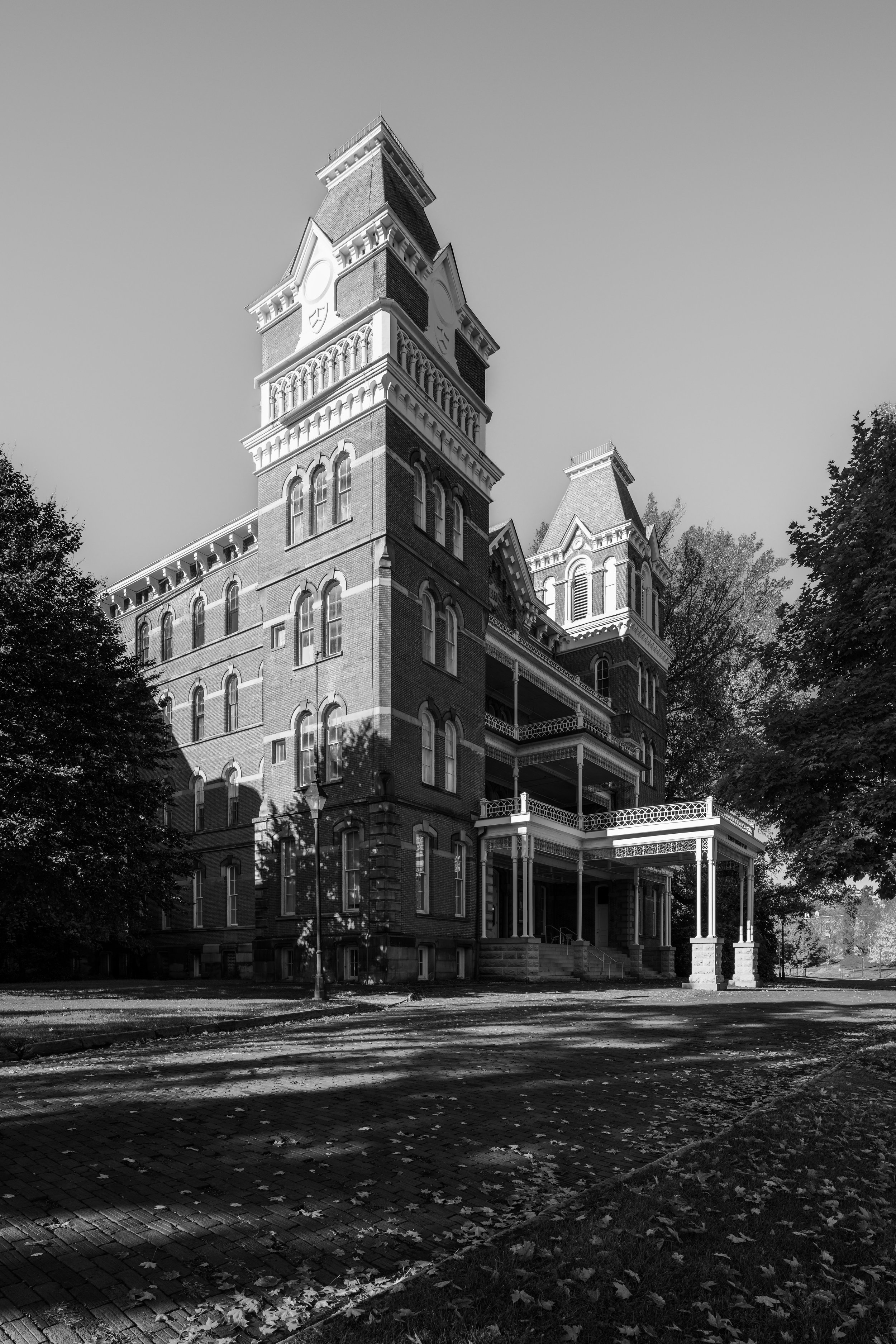
My relationship with The Ridges, formerly the Athens Lunatic Asylum, began back in 2014 when I was a freshman at Ohio University. It was the start of the 4 years I’d live in Athens while working towards by BBA in Management Information Systems & Analytics at Ohio University. It was a chilly fall night and I was sitting in the lobby of Reed Hall (the same dorm my where my dad lived in 1980) with my friends when I first heard about the place - an abandoned asylum that sat atop a hill overlooking the South Green section of campus. A group of about 15 of us decided to brave the cold October weather and venture out into the night.

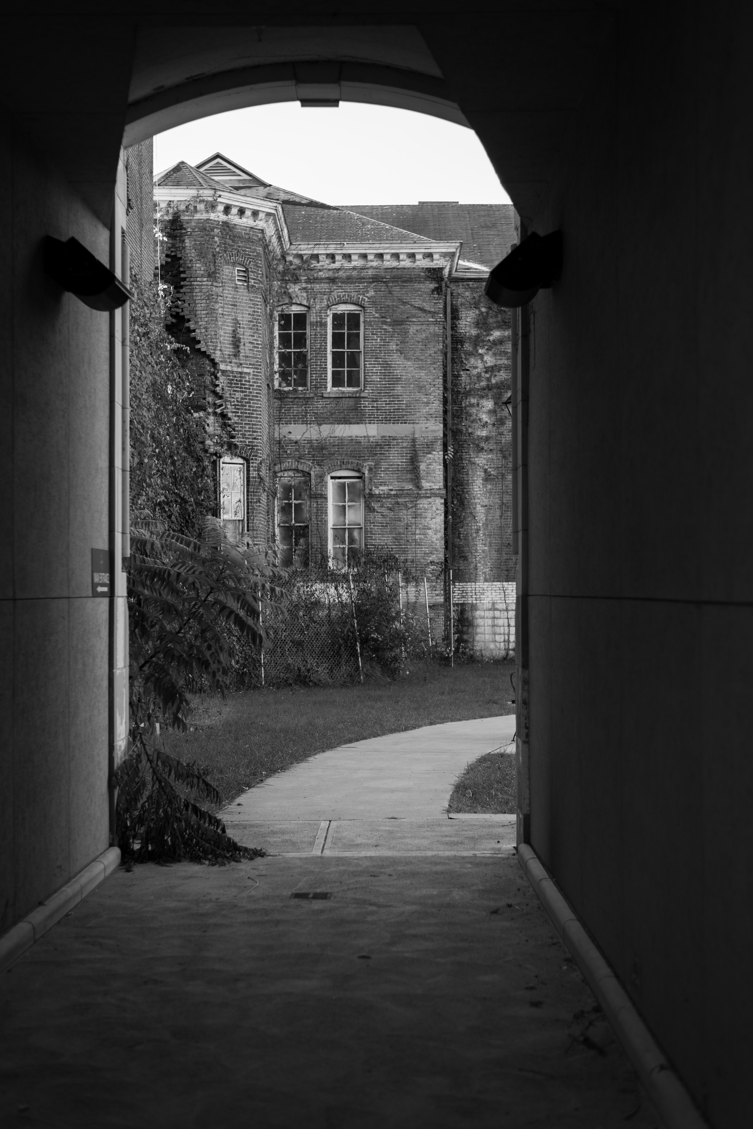
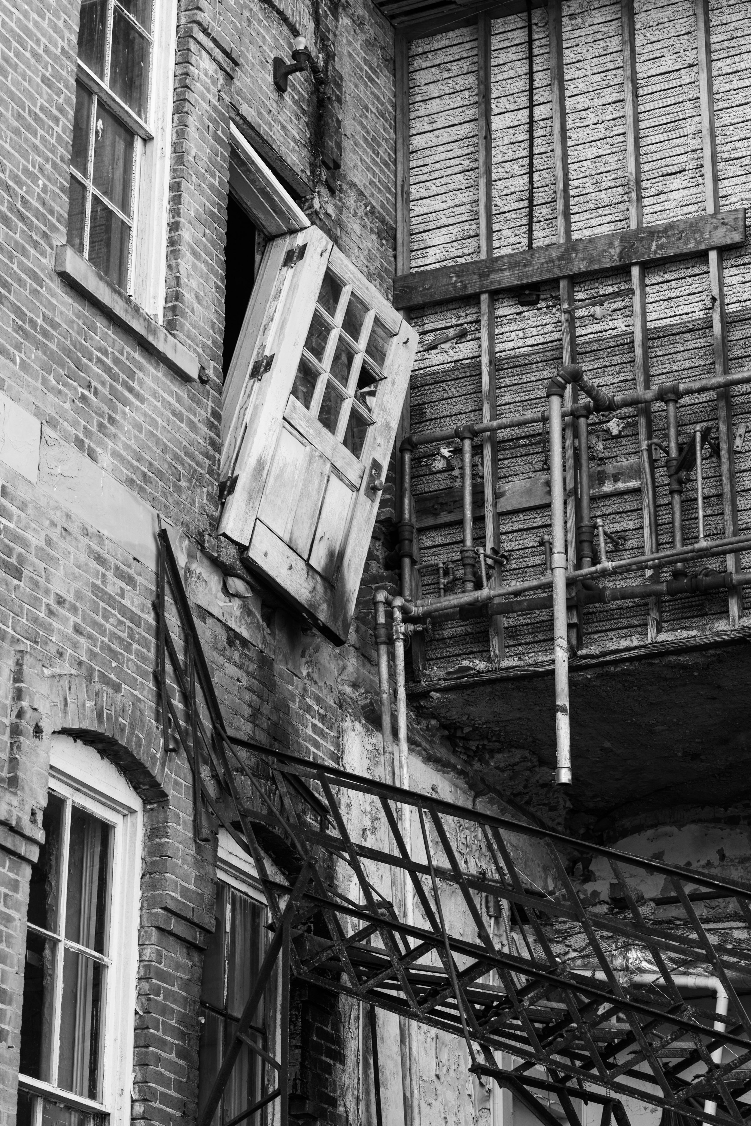
A winding road paved with ubiquitous “Athens Block” bricks leads you up to the rear of the asylum, a short walk across the Hocking River from East Green where I lived. Rusted iron fire escapes, tattered curtains slung behind barred windows, and a graveyard with almost 2,000 nondescript burials draped in darkness piqued my interests in history and architecture. I hadn’t yet discovered my love for photography, but The Ridges had me hooked on asylums. I spent lots of time walking laps around the former Kirkbride Plan asylum, mostly at night when I had free time after classes. Looking back on the very first pictures I shot with my D5500, I’m almost glad I never did any serious shooting there. I feel like I’d be disappointed looking back on those photos today. When my dad asked if I’d like to come along for a quick trip to Athens I jumped on the opportunity, excited to finally document the place where you might say it all began - the Athens Lunatic Asylum.

Opened in 1874, the Athens Lunatic Asylum was designed to house a combined total of 572 male and female patients. The campus was expanded over the years with new buildings and housed 1,800 patients at its peak in the 1950s. Ailments of those committed ranged form epilepsy to feebleness and hysteria. Physical labor was considered a form of occupational therapy, and patients helped staff the various agricultural ventures of the asylum. The entire campus was designed to be somewhat self-sustaining in nature, with a dairy barn, farmland, a power and steam plant, a piggery, and orchards. With the introduction of new psychiatric treatments and changes in the way mental illness was treated, the population of patients at the asylum steadily declined until the facility closed in 1993.

The Ridges are a rare case of an asylum finding new life after the deinstitutionalization movement and state governments sapped funding from residential mental health facilities across the country in the 1980s. Ohio University inherited the dilapidated complex of buildings in 1993, which had fallen into disuse as the patient census declined. The main Kirkbride building has been repurposed to host various functions of the university, including the police department and the Kennedy Museum of Art. The West wing, at least from the exterior, appears unused. The spires which dotted the roofline have been removed. A number of outlying buildings, including the receiving hospital, Cottage B, and the tuberculous ward have been demolished. Most later additions like the auditorium and cottages (excluding Cottage M which awaits asbestos remediation) have been remodeled and repurposed, presumably because the cost of renovation was more reasonable than the work needed to bring the Kirkbride building back online.

Over the years, around 2,000 patients were buried across the three cemeteries at The Ridges. Most were given numbered grave markers for which the ledger that contains personal details of those interred is long lost. Similar to Letchworth Village, numbered grave stones were used as a cost saving measure over creating custom marble monuments for the deceased. While The Ridges certainly gave off a creepy atmosphere when I first visited, I became more comfortable there during my many subsequent nighttime visits. I don’t particularly believe or disbelieve in ghosts, but I never saw much at The Ridges to make me think they exist. For me, The Ridges was a place to explore and unwind with a long walk at the end of a tough day. The familiarity of the towering asylum was comforting, almost like visiting an old friend. And I’m glad I made the trip.

Coney Island Cyclone

2400 DPI.jpg

The picture above, if you were unfamiliar with modern day Coney Island, doesn’t look that strange at first glance. There’s a few things that stick out when you take a closer look though: a ride on the Cyclone costs 25¢, there’s a Ford Model A waiting by the curb, and a bus ride costs 50¢. Why? Because this is actually a scan of an 8x10 cellulose negative from the 1930s. I was absentmindedly flipping through the Lelands 2020 Fall Classic auction catalog at my parent’s house in November when I saw this lot tucked away at the end of a larger selection of photographs up for auction. It came from a group of negatives obtained from the Brown Brother’s, the world’s first stock photography agency. There isn’t a specific date associated with the negative but it was probably taken sometime shortly after The Cyclone opened in 1927.

The tagline of my site is “History | Exploration | Photography”, and I don’t think I’d be living up to said tagline if I didn’t try to revisit this shot in the modern age. The Cyclone still towers over Surf Ave some 94 years later, though the area surrounding it has seen better days. The Big Dipper, built in 1921, was torn down in the late 40s and is now a vacant lot. I’m planning a trip to Rockaway Beach to visit the abandoned Fort Tilden this winter, and I’m hoping to stop by Coney Island and recreate this photograph with my own 4x5 camera.

I have to throw in a shoutout to my incredibly awesome dad who won this negative from Leland’s for me as a Christmas present, and I thought I’d share it here for those who appreciate history and photography like I do.